Are schools and hospitals close enough to people? This question was also asked by Eurostat, which published a new version of geospatial data on the accessibility of health services and education via road transport. The objective of the research is to identify communities that have poor or limited access to health services and education, via regular road routes.
To do this, the travel times needed to reach the nearest services are analysed, together with road network data. Since these are essential services, the intent is to monitor their accessibility to propose sustainable access practices for all. What emerges from the data is that, although essential, these services are distributed unevenly and many people have to travel long times and distances to reach them.
Critical travel times in Italy
The purpose of data collection is not to confirm situations in which everything works and essential services can be reached in a short time: on the contrary, it serves to highlight critical issues and monitor those services that are not accessible. Looking at Italy, for example, even in the area of Rome there are very different travel times. The nearest hospital varies between 2 minutes and over 20 minutes.
Looking outside Lazio, some regions are very critical, such as Sicily and Sardinia (where the journey to a hospital exceeds 60 minutes), and those with very large mountainous areas. Instead, regions such as Lombardy and Veneto are favoured, which present more favorable landscape conditions.
The same difficulties visible in Italy are also present in the rest of Europe, but it is also true that it is enough to take a look at the map, where yellow indicates shorter times and green indicates longer times, to notice how some countries do much better. Just look at France or Germany. Less well, however, Spain or Greece.
Times in northern Italian cities
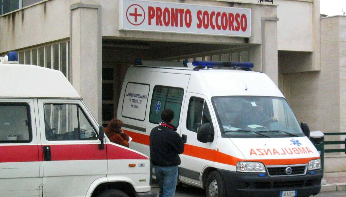
We return to Italy and to the main Italian cities: Milan, Florence, Rome, Naples, Bari, Palermo, Cagliari. Especially in Sardinia, but also in Calabria and Sicily, travel times are critical, up to 60 minutes (which is the maximum measured by Eurostat).
Starting from the North, travel times to reach the nearest health service range from 4 to 20 minutes. The cities that are most accessible are:
Travel times vary greatly, even under 5 minutes and even over 20 minutes used as a window to check proximity. It emerges that the contours of these cities, i.e. the residential and industrial areas that extend into the suburbs, are much more extensive precisely in these cases, while the accessibility range tends to reduce in the smaller cities and provinces in terms of number of inhabitants and therefore services. For example, the area around Florence is much more limited, while the band from Pescara to Bologna and up to Milan is bordered by population centers with a high level of accessibility.
Times in Italian cities in the Center and South
In the South, as mentioned, cities such as Naples and Bari stand out, which have an accessibility time between five and twenty minutes, but while Naples is much more accessible even on the outskirts, Bari is less so. Similar speech for Palermo and Cagliari, whose bright spots are concentrated above all in the capital.
Rome stands out for times reduced to 2 minutes towards the center. The suburbs are illuminated, yes, but travel times are shorter especially within the ring road.
Travel time to education
Compared to travel times for health services, accessibility to the nearest school service is much better. From this point of view, Italy appears much “brighter”, towards yellow or very light green, which means that travel times to schools can vary between 0 minutes (with schools present next to the home) up to 5-6 minutes.
There are areas that are difficult to reach, but from the map you can see how they are comparable to the mountainous areas of the Apennines or the center of the major islands, which are notoriously less inhabited and therefore have fewer nearby services.