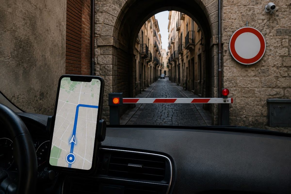
A turn that leads into a restricted traffic zone, an alley that is too narrow or a road that is closed on site. When the navigator suggests a route like this, the most immediate reaction is to think that the GPS was wrong. In reality, GPS does not contain a map of the roads, does not know the prohibitions and does not choose the best route. The satellite signal only serves to estimate the position of the device, which the navigation application interprets together with other data.
The apps overlay that point on a digital map, add information on traffic and restrictions, then compare multiple itineraries using special algorithms. An incorrect indication may depend on imprecise coordinates, incomplete traffic information or the way in which the software evaluates the different possibilities. No configuration completely eliminates these risks, but some controls can reduce them.
How does a navigator choose the route
The first step is to determine where the smartphone or system installed in the car is located. GPS calculates the position through signals sent by satellites, then the software associates those coordinates with the digitally represented road network.
Each section can contain information such as speed limit, presence of tolls, type of surface and any restrictions. The calculation resembles the mathematical problem of the most convenient path between two points, but in real applications not only the distance is considered.
Google Maps, for example, combines current conditions with those expected during the trip, also evaluating the characteristics of the streets and estimated times. Waze instead claims to classify the proposals considering limitations, selected preferences, type of sections, expected duration and overall length.
The suggested route is therefore the result of a compromise between numerous factors, not a simple line connecting two locations. A 10 kilometer journey, for example, is not necessarily better than a 12 kilometer one, as the former might cross streets with many traffic lights, slowdowns or restrictions that make it less convenient.
Why does Google Maps go the wrong way?
A first cause concerns the difference between the real territory and its digital representation. The road system changes continuously: one-way streets are introduced, new roundabouts are built, accesses are closed or construction sites are started. Google updates its maps using images, data provided by authorities and partners, automatic systems and user contributions. The updates, however, may not immediately reflect a change in traffic.
Temporary or conditional restrictions are even more complex, because they can change based on the time, day or vehicle category. The database must therefore contain not only the existence of the ban, but also the conditions under which it is applied.
Another possible source of error is localization. In open-sky conditions, GPS-equipped smartphones are generally accurate to within about 15 feet (4.9 meters), but buildings, bridges, trees, covered environments, and signals reflected from surfaces can degrade the result. Google also explains that Maps determines your location by combining several signals, including GPS, mobile networks, Wi-Fi, and Bluetooth (as well as other data available on your device). If this information is not perfectly aligned or is temporarily less precise, even the estimated position may have some margin of error. A small deviation can place the car on the parallel road or beyond an intersection, prompting the app to recalculate the route from the wrong point.
Finally, the proposed route may be technically correct but not very suitable. An alley, a steep slope or a side street may appear passable on paper and save time. The algorithm, however, does not observe the situation like a person behind the wheel, but processes the available data and may not have accurate information on the width of the roadway, the accessibility of an entrance or on a local condition not yet acquired.
Because it can lead to a restricted traffic zone, a private road or the wrong entrance
The arrival is often the most delicate part of the navigation. An address identifies a point, but does not always specify which input to use. The placeholder of a hotel, a car park or a very large building may be on the opposite side from the driveway entrance: in such a case, the app could propose an unsuitable access. Among the innovations designed to make the final stretch more readable is the immersive 3D navigation of Google Maps, which shows the surrounding context and the arrival area in a more intuitive way.
These more detailed representations, however, cannot compensate for all the missing information. Even a private road may appear on the digital map without complete information on transit conditions being available.
For this reason, a suggested route is not equivalent to a transit authorisation. Signs, traffic lights, barriers and indications from the authorities always remain prior to the instructions shown on the screen.
How to calibrate Google Maps, Apple Maps and Waze to reduce errors
Before leaving, it is not enough to enter a destination, but it is worth checking that the type of trip and the preferences selected really correspond to the situation.
The first check concerns the movement mode. Deciding to set navigation by car, motorbike, bicycle or on foot can produce very different results. It is then useful to observe the entire itinerary, compare the available alternatives and especially check the first and last sections.
In Google Maps, route options allow you to avoid tolls, highways, and ferries. In Apple Maps, after requesting directions by car, a dedicated wording allows you to exclude tolls and highways. In the respective official guides, however, a general command to avoid all restricted traffic zones does not appear. Waze, then, offers more specific functions and in the navigation preferences it is possible to ask to avoid tolls and restricted traffic zones, motorways and ferries.
When the point shown on the map appears very large or unstable, it may be useful to wait a few seconds in an open space: buildings, bridges, trees and covered environments can in fact obstruct or reflect satellite signals, reducing precision. At this link you can report errors on Google Maps.
What to check before leaving
When the destination is located in a historic center, in the mountains or inside a complex structure, it is advisable to zoom in on the arrival area and verify access via satellite view, street images or instructions provided by the location. If a detour seems unusual, choosing a more straightforward solution may be preferable to chasing a few minutes’ savings.
The navigator is not an “autopilot”, but a system that interprets information collected and updated at different times. For this reason, his indications must always be compared with the real situation: correct configuration, preventive control and attention to signs are the most effective measures to prevent a digital shortcut from turning into a concrete problem.