Checking the weather on your smartphone is now an almost automatic gesture: just open an app to find out if it will rain in the next few hours, it will be hot or you will need to bring an umbrella with you. Behind apparently so simple indications, however, there is much more complex work, which requires interpreting an enormous amount of data on the atmosphere. It is precisely in this field that Google DeepMind and Google Research are increasingly focusing on AI. The most recent achievement is WeatherNext 3, the next generation of the weather model developed by Google to improve the way forecasts are produced and make them more useful in everyday life.
What is WeatherNext 3 and how does it use AI to predict the weather
To understand how WeatherNext 3 works we need to start from how “traditional” weather forecasts are processed. Numerical models describe the atmosphere through physical-mathematical equations and require large computing capabilities. AI-based systems are instead trained through machine learning techniques, using a large amount of information, so as to learn the relationships between the present state of the atmosphere and its possible evolution.
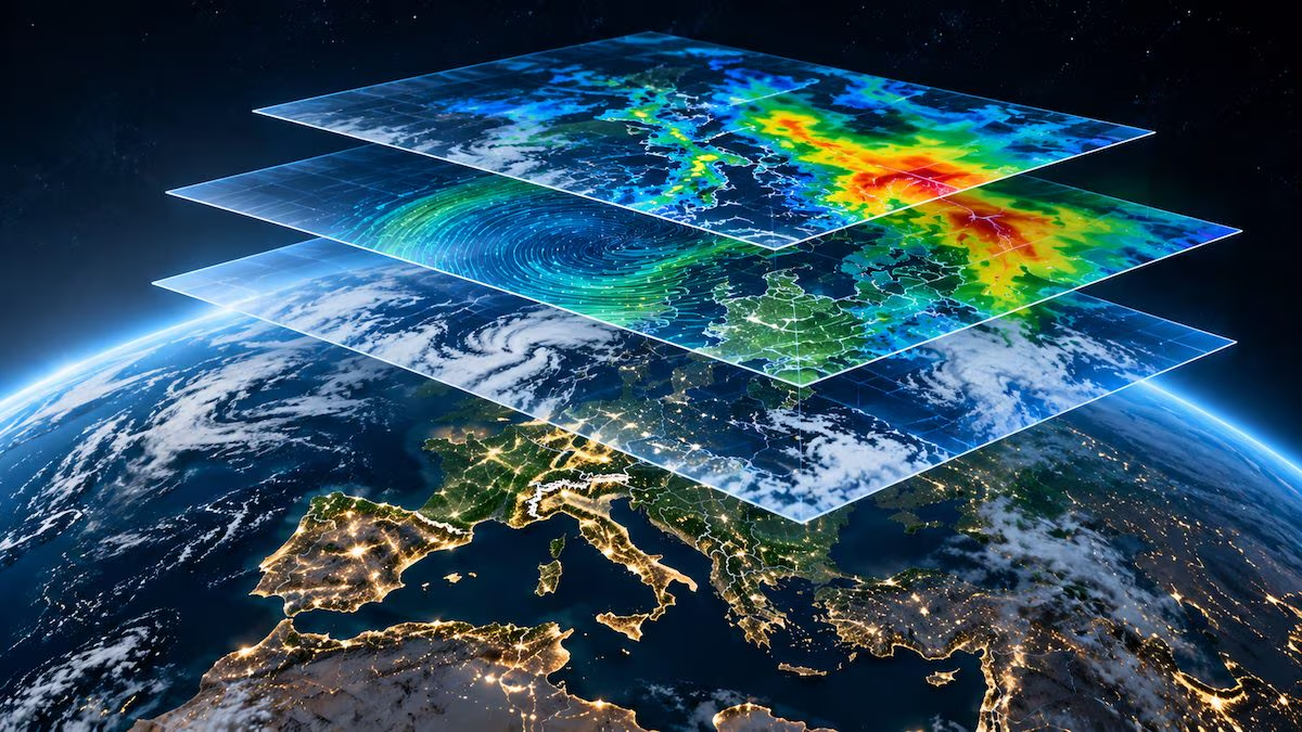
WeatherNext 3 belongs to this second category, but introduces an important innovation: it can also start from a global mosaic of images from geostationary satellites, used together with the meteorological analyzes already used by previous models. In this way it has a very recent picture of what is happening and does not depend only on reconstructions that may arrive with a certain delay.
Measurements taken by ground meteorological stations are also used during training. These observations help the model produce results that are closer to what is actually detected in a given location, especially for parameters such as temperature and humidity.
Forecasts every hour and resolution up to 5 km: what these numbers mean
One of the most interesting data concerns the frequency of updates. Thanks to satellite images available in near real time, WeatherNext 3 can start new processing 24 times a day, i.e. once every hour. The four main forecasts of the day, made every six hours, can go up to 15 days, while the intermediate ones have a horizon of 48 hours.
The level of detail also changes compared to WeatherNext 2, which worked on a grid of approximately 25 km. The new model reaches up to 5 km for two parameters calibrated on the stations: the temperature and the dew point, i.e. the temperature at which the water vapor present in the air begins to condense. Various surface variables, including wind, pressure, cloud cover and rain, are instead produced on a grid of about 10 km, while some parameters of the atmosphere at high altitude remain at 25 km.
The 5 km figure, therefore, is not valid without distinction for any phenomenon. However, it indicates a finer representation of the territory for some quantities. It’s a bit like increasing the definition of an image, which doesn’t make what is shown perfect, but allows you to distinguish differences that previously ended up in the same “pixel”. Overall, Google speaks of a global representation about five times more detailed than WeatherNext 2. In meteorology this can be useful, for example, in areas with coasts, valleys or reliefs, where conditions can change significantly even at relatively short distances.
Why predicting rain and snow is so difficult: what changes with the new model
Precipitation is among the most complex phenomena to predict accurately. Rain and snow depend on processes that can evolve rapidly and affect relatively small areas. A storm band, for example, can move quickly and make a forecast based on data that is not recent enough or too low a resolution less reliable.
To obtain more accurate estimates on this front, WeatherNext 3 was also trained with IMERG, the NASA system that combines observations from multiple satellites to estimate precipitation, and with a reanalysis, i.e. a reconstruction of past weather conditions, developed by Google starting from satellite and radar data. The model can thus learn from information that better describes where and how much it actually rained or snowed.
Technical tests give an idea of progress. For global medium-term calculations, Google also uses CRPS, a metric used to evaluate the accuracy of probabilistic forecasts. In the comparisons carried out by the company, the improvement reaches up to 60% when the estimates are compared with the IMERG satellite observations and up to 30% using the MRMS radar observations as a reference; compared to rain gauge measurements, it reaches 10% in the closest forecast deadlines.
Alongside these technical tests, Google provides more immediate data for those who consult the weather in its products: by planning at least a day in advance, the accuracy of rainfall forecasts can increase by up to 50%, with the greatest advantages in areas where it has historically been more difficult to obtain reliable results.
However, these percentages must be interpreted in their context. They do not mean that WeatherNext 3 is always 50% or 60% more accurate, the values depend on the metric used, the data chosen for comparison and the distance in time of the forecast. These are therefore progress measured in specific tests, not the promise of infallible weather.
Where it is used: from Search and Maps to renewable energy
The new model will not remain confined to Google DeepMind laboratories. In fact, since September 3, 2026, it has begun to feed weather information available in other company services and platforms: Google Search, the Gemini app and Google Maps, as well as the Weather API of Google Maps Platform and Google Earth Engine.
For those who use these services it will therefore not be necessary to access WeatherNext 3 directly, because its results will be integrated into the weather experiences of Google products. Researchers, developers and businesses can instead consult the data via BigQuery and Earth Engine or download it from Google Cloud Storage.
The applications also go far beyond the question “do I need an umbrella?”. WeatherNext 3 also estimates the wind at 100 meters above sea level, an indicative altitude for wind turbines, and provides information on cloud cover and solar radiation. They are useful parameters for predicting the production of wind and photovoltaic systems and helping those who manage the electricity grid to know how much energy could be available.
However, limitations remain. The atmosphere is a complex and partly chaotic system, so no model can completely eliminate uncertainty. Google itself specifies that WeatherNext 3 processing does not constitute official weather alerts. In the event of extreme events or potentially dangerous situations, it is necessary to continue to refer to the national meteorological services and the competent authorities.
WeatherNext 3 finally shows how broad the applications of AI in the meteorological field can be. The same technology can support both the information consulted every day and activities that are highly dependent on weather conditions, up to the management of renewable energy.