The Italian-French border is 515km long. It is located largely in the Alps, connecting Piedmont and the Aosta Valley with the French regions of Rhône-Alpes and Provence-Alpes-Côte d’Azur, and reaches as far as the Mediterranean Sea, without physical barriers. The border derives from the border between the Duchy of Savoy and the Kingdom of France, established in various phases between the 15th and 17th centuries, and from the changes made on the occasion of the Unification of Italy, when Savoy and the county of Nice were ceded to France. Minor adjustments occurred in 1947, at the end of the Second World War, and resulted in the transfer of some portions of territory and the towns of Briga and Tenda to France.
The map of the Italian-French border: which territories it crosses
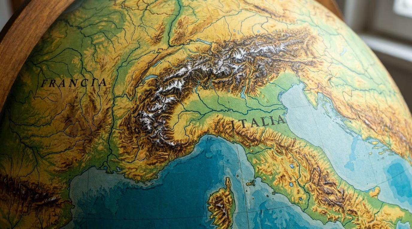
The border between Italy and France extends for approximately 515 km. The border begins in the north on Mount Dolent, where the Italian-French-Swiss triple border is located, and crosses the Western Alps. In part, the border runs along waterways and mountain ridges, ensuring a natural separation between the two countries. On the border is the Mont Blanc massif, whose summit is the subject of dispute: it is entirely in French territory according to the Paris authorities; divided in half according to the Italian government. Other border mountains are Mount Chaberton, Monviso and Mount Thabor. The border ends at the Ligurian Sea, between the towns of Ventimiglia in Italy and Menton in France.
On the border there are four Italian provinces, Imperia, Turin, Cuneo and Aosta, and five French departments, Haute-Savoie, Savoie, Hautes-Alpes, Alpes-de-Haute-Provence, Alpes-Maritimes.
The origins of the border: from the Duchy of Savoy to the Kingdom of Sardinia
The Italian-French border derives from the border between France and the Duchy of Savoy, one of the pre-unification Italian states, which became the Kingdom of Sardinia in the eighteenth century. The borders between the Duchy and the Kingdom of France were established in various phases between the 15th and 17th centuries. The Treaty of Turin of 1696 was decisive, with which the borders were established which, in the central and southern sector, largely correspond to the current ones. In the first decades of the eighteenth century, however, some small adjustments were made. In the Napoleonic age, some territories were annexed to France, which returned to the Kingdom of Sardinia after Napoleon’s defeat.
The Unification of Italy
Significant changes occurred following the unification of Italy. As we know, the Kingdom of Sardinia placed itself at the head of the national unification process and, to defeat the Austrian Empire, asked for and obtained the support of France, governed by Napoleon III. In exchange for support against the Austrians, the Kingdom of Sardinia guaranteed the cession of two territories: the region of Savoy, located in the northwestern sector of the Kingdom, and the county of Nice, located on the coastal side. The cession was established with the Treaty of Turin of 24 March 1860 and sanctioned by plebiscites carried out in the regions concerned, which concluded with very high percentages (over 99%) of those in favor of the annexation. Important cities passed to France, including, on the coast, Nice and Menton and, in Savoy, Chambery, which had been the capital of the Duchy until 1563, and Annecy.
With the unification of Italy, the almost definitive border with France was established.
Changes after the Second World War
The border remained stable until the Second World War, despite the fascist regime wanting to appropriate various portions of French territory. After the victory in the war, France did not demand extensive territorial annexations, but requested and obtained some border adjustments, which also involved the transfer of two inhabited centers: Briga and Tende. The change was sanctioned by the Peace Treaty signed by Italy with the victorious powers in 1947.
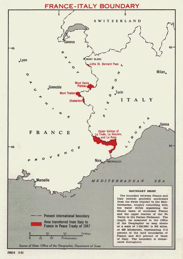
The Aosta Valley remained with Italy, claimed in France by some political movements. The annexation was in fact not appreciated by the Anglo-Americans and by the Aosta Valley population itself.
The maritime border and the Treaty of Caen
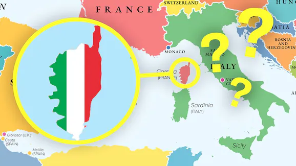
The maritime border between Italy and France is located in the Ligurian Sea and the Tyrrhenian Sea. It was established with several treaties between 1892 (Menton Agreement) and the 1980s (Agreement of the Strait of Bonifacio, which defined the border between Sardinia and Corsica in 1986). In 2015 a new agreement, the Treaty of Caen, brought significant changes (and favorable to France), but it was not ratified by the Italian Parliament and never entered into force.