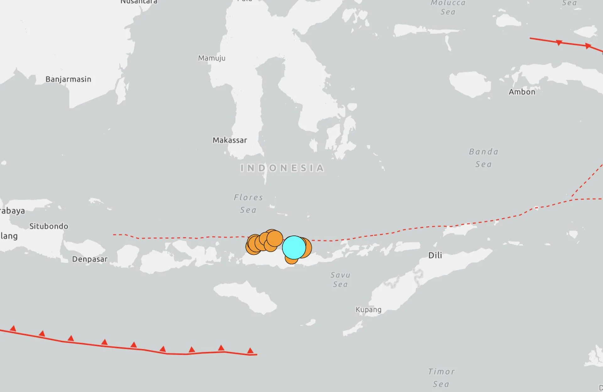
Today, at 05:58 local time, (23:58 yesterday, Italian time), an intense earthquake of magnitude 7.7 hit Indonesia, with an epicenter located in the region of the island of Flores, in the eastern part of the archipelago state. The intense earthquake movement has generated several collapses of buildings and homes, and the provisional toll is at least 20 dead, six injured and two missing, numbers which are still being ascertained according to the authorities.
USGS data
According to what was detected by the USGS, the United States geological survey, the quake occurred at 5:58 local time 68 kilometers from the city of Ende, with a depth of about 10 kilometers. The initial shock was followed by other powerful aftershocks, the most powerful, according to USGS findings, was of magnitude 6.1.
The Indonesian Agency of Meteorology, Climatology and Geophysics, BMKG, initially issued a tsunami warning which was later lifted. Around 2,000 people living in Nagekeo regency were evacuated as a precaution following the earthquake, according to BNPB, Indonesia’s national disaster management agency.
Why Indonesia is so exposed to earthquakes
Indonesia, a vast archipelago made up of over 17,000 islands, is particularly exposed to seismic risk and has already suffered several strong earthquakes in the past. The country is located along the Pacific Ring of Fire, a vast area characterized by high seismic and volcanic activity, approximately 40,000 km long, with a ring or horseshoe shape, and which extends from Chile to Alaska, borders East Asia, South-East Asia and Oceania, containing within it states such as Japan, the Philippines, Indonesia, Papua New Guinea and New Zealand. Precisely this geological position makes earthquakes of strong intensity a constant risk for the archipelago. In the next few hours, local authorities will continue checks in the area and the death toll and damage could therefore be updated.