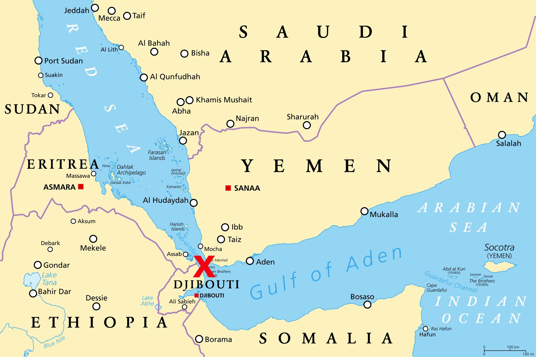
Traveling around Italy you will certainly have come across a series of toponyms that begin with a numeral. The cases are different and scattered throughout the country: Terzo d’Aquileia (Udine); Quarto Oggiaro (Milan); Quarto (Naples); Quinto Vicentino (Vicenza); Quinto Vercellese (Vercelli); Sesto Calende (Varese); Sesto San Giovanni (Milan); Sesto Fiorentino (Florence); Settimo Milanese (Milan); Settimo Torinese (Turin). To these are added several other smaller localities, such as hamlets, villages and rural centres. But what do these numbers mean? The answer takes us back to the times of ancient Rome, when roads and traffic infrastructure became the pillars of an empire whose expansion never seemed to want to stop and the measurement of road distances was calculated starting from a main center along the consular roads. In this context, the first road sign system was born, used to indicate the distance in Roman miles from one place to another.
The Roman road network
Between the end of the 4th century BC and the 2nd AD – while Rome progressively expanded its control from Italy to the entire Mediterranean basin, to the point of creating a dominion that extended over the lands of three different continents – the creation of an efficient road network became a strategic priority. Just like connections in an immense nervous system, Roman roads guaranteed the rapid passage of resources and information from one end to the other of the vast domain of Rome, first republican and then imperial. In this way it was possible to control increasingly larger areas.
The construction of new roads proceeded hand in hand with the conquest of new territories: during the phase of maximum expansion, the Roman Empire incorporated a network of paved roads that stretched for over 53,000 Roman miles, equal to approximately 80,000 kilometers today, to which numerous other unpaved routes were added.
The “signage system”
Although they were the fundamental element, the roads represented only the most immediate aspect of a much more complex system: to guarantee the mobility of armies, merchants, officials and private individuals, the Romans created a dense network of infrastructures and services, which included, among other things, rest areas and signage systems.
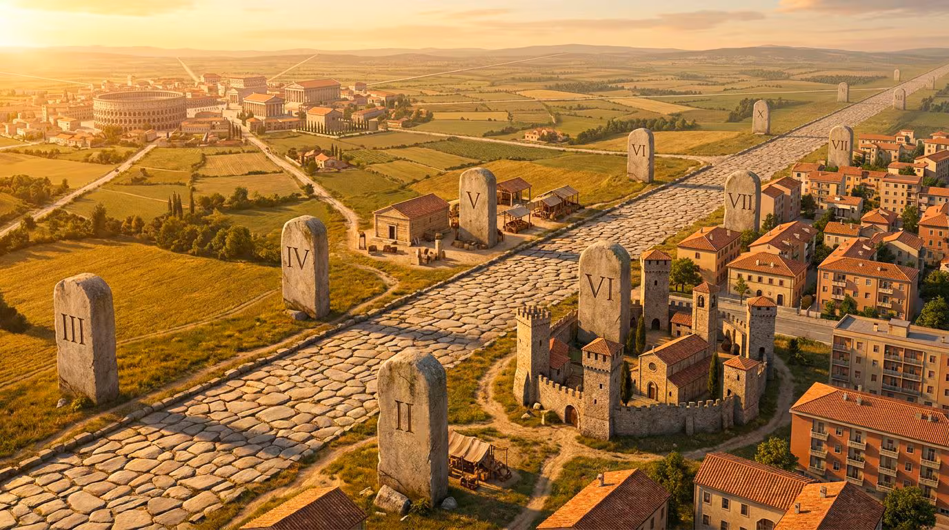
The management of road conditions, in fact, required careful organization and mapping of the territory, so that travel could be carried out safely, quickly and efficiently even by less experienced travellers. In this regard, the so-called milestones played a very important role: columns with inscriptions (which could take on very different shapes and sizes) placed along the roads and used to mark the distances in Roman miles (1 Roman mile corresponds to approximately 1480 metres) from the beginning of the road or from a nearby and important inhabited centre.
And this is where our place names containing numerals come into play.
From the miles to the modern names of Quarto, Quinto and Sesto
Along the Roman roads you could therefore find milestones that indicated the third mile, then the fourth, then the fifth, then the sixth and so on… to indicate the distance from a large and important city. Some of these stones were found in strategic positions for travelers and, more than ancient road signs, they represented real geographical reference points, so much so that post stations, commercial activities and small inhabited centers sprang up around them. Over time, these nuclei transformed into settlements. These centers were identified by the reference mile where they were located with Latin expressions ad quartum; ad quintum; to sextum implying the word tombstoneMeaning what at the fourth, near the fifth or at the sixth milestone.
With the passing of the centuries and the affirmation of vernacular languages, the names of these places became simplified and firmly entered local toponymy, often accompanied by other names or appellations born over time.
To give an example, Sesto San Giovanni is a municipality in the metropolitan city of Milan and, according to the most accredited theories, its name derives from the Latin expression ad sextum lapidemMeaning what at the sixth milestonewhich in this case would have been, precisely, six miles from ancient Roman Milan. San Giovanni, however, was added only later – it is thought at the end of the 11th century – to indicate how the territory of the municipality referred to the dependencies of the basilica of San Giovanni Battista in Monza.